
Townsville Property Due Diligence: How to Check Flood Maps & Storm-Tide Overlays
- Jennifer Smith

- Sep 17, 2025
- 3 min read
Updated: Sep 17, 2025
Written by Jennifer Smith

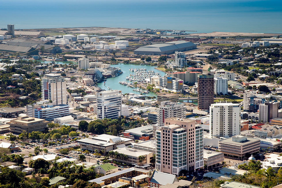
When you’re weighing up a property purchase in Townsville—whether it’s a family home, an investment, or a development site—doing your natural hazard checks is more than a box-ticking exercise. It can influence your build design, insurance costs and even the long-term value of your investment.
Two key risks are assessed separately in the Townsville City Council planning scheme:
Flood hazard – water from heavy rainfall or river catchment overflow
Storm-tide inundation – saltwater pushed inland during cyclones or king tides
To get the full picture, you need to check two different sets of maps—and there’s a brand-new flood-mapping tool you should know about.
1️⃣ Updated Flood Hazard Mapping – and a New Comparison Tool
Townsville City Council has recently updated its flood maps, reflecting the most up-to-date modelling of the Ross River and surrounding catchments.
The good news: you can now see the changes side-by-side with a new online viewer.
Start here:
Visit the original Flood Mapping Service page.At the top you’ll find a prominent link to the new flood depths mapping tool.
Then explore the update:
Click through to the interactive flood depths viewer.
Enter the property address or zoom in on the map.
Toggle between the “Existing” and “New” flood maps to compare how the latest modelling affects a specific site.
** Updated mapping can reveal changes in risk categories. That might mean new building controls (for example, minimum finished floor levels) or a shift in likely insurance premiums.
2️⃣ Check the Storm-Tide Overlay
Cyclone season brings another hazard: storm-tide inundation. This occurs when a tropical cyclone, strong onshore winds and a high tide combine to push seawater inland.
Flood mapping does not capture this risk, so you must check a separate overlay:
How to check:
Go to the Townsville City Plan – Overlay Maps on Council’s website.
Select Overlay map 3.1 – Storm Tide Inundation.
Search for the property or zoom in to see whether it lies in a mapped storm-tide area.
** If a site is within a storm-tide zone, development may require specific construction standards—such as materials that can cope with saltwater exposure—or be subject to evacuation planning.
3️⃣ Read the Legends & Notes
Each map includes a legend and an information panel explaining risk levels and relevant development requirements. Take the time to read these carefully. Look for:
Risk categories (for example: low, medium or high hazard).
Building or design controls such as raised floor levels or drainage requirements.
Local Tip
💡 Always check both overlays. Flood hazard and storm-tide risks are assessed independently. To understand a property’s full natural-hazard exposure, you need both.
If you’re buying, factor in possible insurance impacts. If you’re building or renovating, share these maps with your designer or engineer early to avoid costly design changes later.
Final Thoughts
Townsville’s tropical setting is part of its charm, but it also means planning around water—both river and sea. By using the new side-by-side flood depth comparison tool and the storm-tide overlay, you’ll have the clearest picture yet of a property’s natural hazard profile.
This simple, early step in your due diligence can save money, reduce stress and ensure your slice of North Queensland paradise is ready for whatever the wet season brings.
#Townsville #PropertyTips #FloodRisk #StormTide #PlanningScheme #DueDiligence #NorthQueensland #NQBuyersAgent #TownsvilleBuyersAgent #TownsvilleBuyersAdvocate

Comments